The Traffic Monitor
Open Source roadway object detection and radar speed monitoring.
Subscribe to the newsletter to stay in touch with the latest developments!
Features

Machine Learning
Edge ML-powered for fast object detection right on the device with a Coral AI co-processor.

Doppler Radar
Designed with a Doppler radar sensor for speed and direction reporting; certified alongside law enforcement radar detectors.

Privacy-Focused
You control what you share. All data is generated on the device. No cloud required.
Permanent Deployment
Long-term deployment in weatherproof enclosures on roadways up to 100-meters away.
Temporary, Remote Deployment
Small form factor and low-power footprint with optional battery and solar capabilities.
Capture Snapshot and Video
Capture every event or based on configuration settings: speeding, entered zones, special criteria, and more.
MQTT / HTTP Data Feeds
Telemetry available via open protocols to use with ThingsBoard, Home Assistant, and more.
BYO Additional Models
Load additional models such as license plate recognition, vehicle make and model classification, and more. The sky is the limit!
... and more!
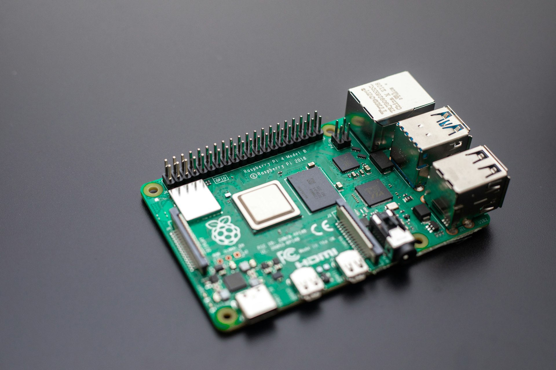
Raspberry Pi-based ecosystem has nearly endless possibilities: air quality, noise, gases, light: the list goes on.
Build it yourself (DIY)
The Traffic Monitor hardware and software are open source so you can build it yourself, expand on it, explore, improve, and contribute back to the community!
Build ItBuy it
Pre-built units and kits are currently under construction.
Join the newsletter to stay tuned for your chance to get a unit that is ready-to-go.
Buy ItAbout the smart city traffic monitor...
The Traffic Monitor is an open source smart city traffic monitoring software built with commodity hardware to capture holistic roadway usage. Utilizing edge machine learning object detection and Doppler radar, it counts pedestrians, bicycles, and cars, measures vehicle speeds, and captures environmental conditions.
With open source software and hardware, your imagination is the only limit on the questions you can answer and the data you can collect. Right-to-repair isn't just a tagline: You are encouraged and enabled to build, repair, improve, augment, reconstruct, and explore all the possibilities of this system. And when you have something new, share and contribute back to the community! Transparency and responsible AI are also core to the design.
We believe empowering citizen scientists and transportation advocates to collect, share, and understand information about their public streets will improve community safety and quality of life. We want to lower the barrier to entry on obtaining and utilizing cutting-edge, industry-leading traffic monitoring technology to empower the next generation of roadway engineers and planning professionals to utilize AI and low-cost, cutting edge technology. Foster a more efficient and sustainable transportation ecosystem.
Example Use Cases
Cutting-edge traffic monitoring technology
Real-time data on traffic patterns
Urban planning and traffic management officials can deploy the device at key intersections and roadways to better understand pedestrian flow and environmental conditions.
This information can inform decisions on infrastructure improvements, such as the installation of new bike lanes or pedestrian crossings, and help optimize traffic signal timings to reduce congestion.


Democratize roadway data
Raise community awareness
Enhance public safety initiatives by identifying and measuring high-traffic, high-speed areas that may require community awareness campaigns for improved roadway infrastructure or increased traffic enforcement.
Influence policy decision making by collecting and sharing recent, actionable data that takes a holistic view of the roadway; everyone counts: pedestrians, bikes, cars, and more.
Get to know your roadway
Intersection analytics
Gain invaluable insights into traffic flows and people-based activity at critical junctions. Identify moving violations such as red light running, optimize traffic signal timings, and enhance safety measures.
This data-driven approach enables smarter advocacy and urban design to improve mobility in your neighborhood.


Foot traffic insights
Location analytics
Get insights into the health of your business and main street corridor. Measure people movement and foot traffic data to feed your real estate and retail decisions. Make changes and measure how it affects your location's audience.
Deploy in multiple locations along your trade area to understand where visitors are coming from and going to and identify opportunities for growth.
Attached environmental sensors
Air Quality monitoring
Directly associate air quality and environmental measurements with roadway use and conditions. Attach the AQ modules to measure temperature, pressure, humidity, light, analog gas, noise, and particulate matter (PM 2.5)
See how changes in your roadway environment affect air quality over time. Contribute your data to citizen science efforts to monitor air quality just outside your house.

Dashboard Screen Shots
Dashboards are available on-device for a quick peak at system operation.
All data is kept securely on-device, but MQTT and HTTP API endpoints make it easy to send data to other applications, locally or cloud hosted, such as Home Assistant or ThingsBoard.
AI for Good
Open Source Foundation
Full-featured, accessible software.
Powered by Frigate
Frigate NVR with Realtime Object Detection.
Node-RED
Low-code programming for event-driven applications.
Raspberry Pi OS
Full-featured Debian Operating System.
Built on Commodity Hardware
Accessible, durable, and well-supported.
Raspberry Pi 5
High-performance computer with a vast ecosystem of support and capabilities.
Camera Module 3
Wide lens with 12MP sensor and autofocus.
Coral AI Tensor Processing Unit
Co-processor capable of 100+ FPS with millisecond inference time.

Open source software and hardware for transparency and longevity.
Your imagination is your only limit.


